Sugarbush Island
Frontcountry Campsites Kabetogama Lake Frontcountry Camping

Sugarbush Island

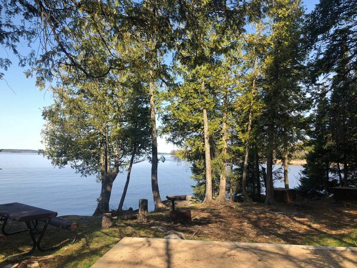
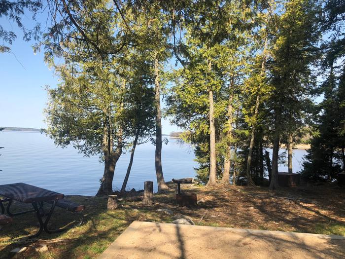
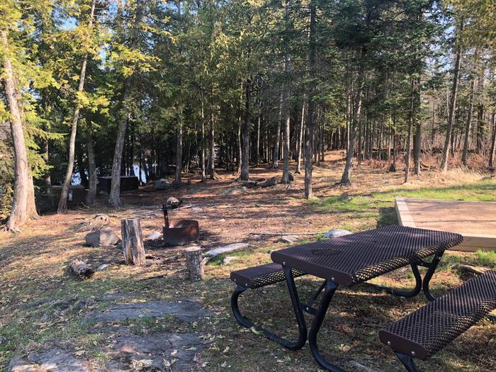
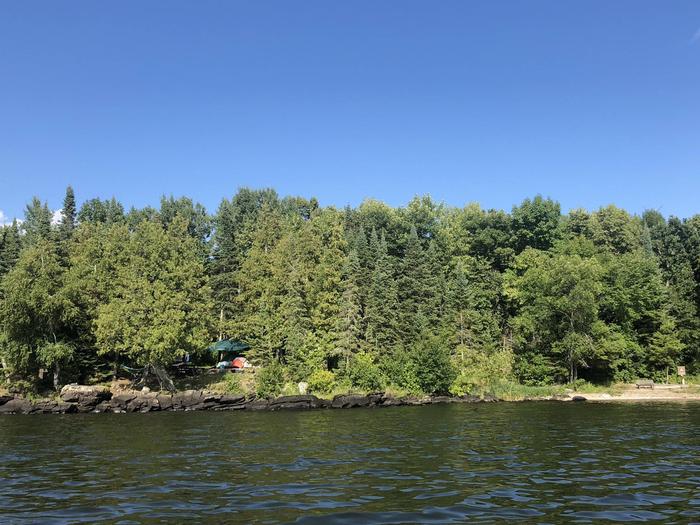
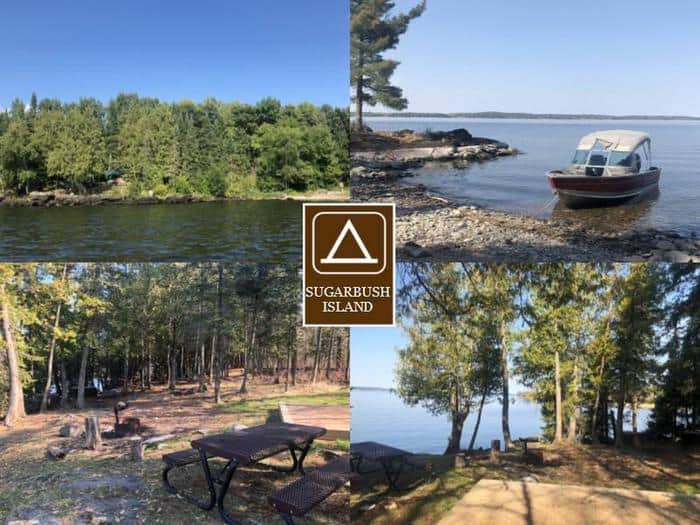
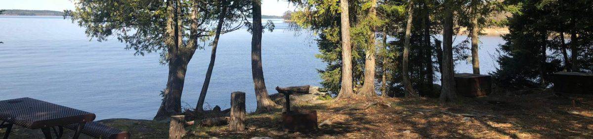
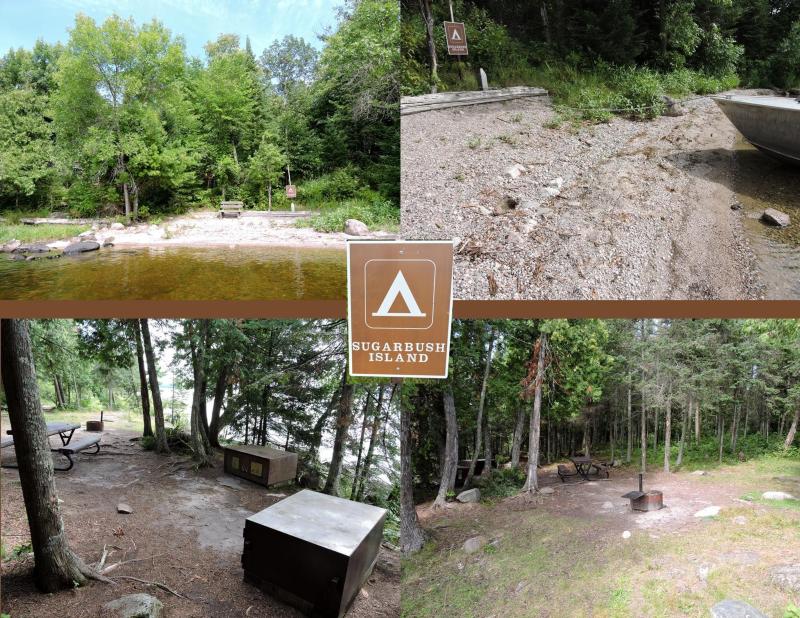
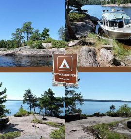
Campsite Information

  • Campsite ID: K34
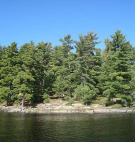
  • Campsite Size: Small
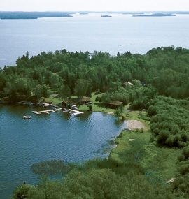
  • Lake: Kabetogama Lake
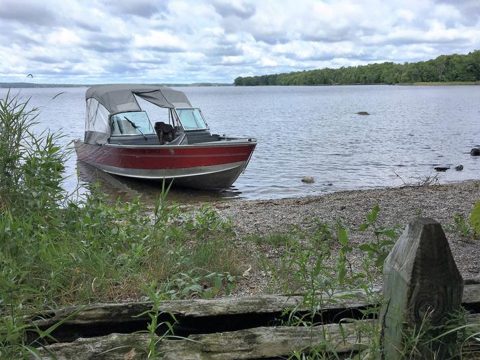
  • Pebble Beach Landing
  • 1 Fire Ring(s)
  • 1 Table(s)
  • 2 Tent Pad(s)
  • 2 Bear Locker(s)
  • 1 Privy

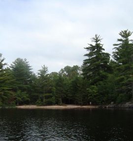
Reserve a campsite at Sugarbush Island - ID: K34

Campsite reservations are managed through recreation.gov. Read our How to Reserve a Campsite on recreation.gov guide for more complete steps.

To book this front-country campsite, go to recreation.gov, search 'Voyageurs National Park Camping Permits' and select Sugarbush Island, or use the direct link to the campsite reservation page | Campsite: Sugarbush Island ID: K34

Additional Campsite Details

Campsite Name Sugarbush Island
Campsite Number K34
Checkin Time 3:00 PM
Checkout Time 12:00 PM
Max Number of People 9
Min Number of People 1
Campsite Type Small Campsite
Accessible Campsite? FALSE
Campsite Access Boat-In
Tent Pad Width 14
Tent Pad Length 14
Pets Allowed? Yes
Campsite ID 63437035
Facility ID 249981
Campsite Latitude 48.46389
Campsite Latitude -92.988804
Last Updated Date 2023-11-13
K34 Sugarbush Island
Sugarbush Island K34 View looking out from campsite
K34 Sugarbush Island
Sugarbush Island K34 Sugarbush Island campsite on Kabetogama Lake
K34 Sugarbush Island
Sugarbush Island K34 View looking out from boat access
K34 Sugarbush Island
Sugarbush Island K34 View of campsite
K34 Sugarbush Island
Sugarbush Island K34 View of campsite from the water
K34 Sugarbush Island
Sugarbush Island K34 Sugarbush Island campsite on Kabetogama Lake
K34 Sugarbush Island
Sugarbush Island K34 Sugarbush Island

Sugarbush Island Campsite Photos

Site Rating

0 average based on 0 ratings

  • Fantastic
    0
  • Very good
    0
  • OK
    0
  • Could be better
    0
  • Not worth It
    0

Related Places

S12-C View of Mukooda Lake Trout Campsite

Mukooda Lake – Trout

S12-B Mukooda Lake (Crappie) view out from campsite core of the fire ring and picnic table with water in the background

Mukooda Lake – Crappie

S11-E King Williams Narrows Campground (Site E)

King Williams Narrows (E)

S11-D King Williams Narrows Campground (Site D) view looking out from campsite core of the fire ring and picnic table with water peeking through tall trees in the background

King Williams Narrows (D)

S11-C King Williams Narrows Campground (Site C) view looking out from fire ring with water in the background through tall trees

King Williams Narrows (C)

LEAVE A COMMENT

Visit Voyageurs NP

Voyageurs National Park Map.

Camping & Trails Map Explore Voyageurs NP MapExplore Voyageurs Site